Water Resistant Folding Chart
 |
||

Take it to the lakes!
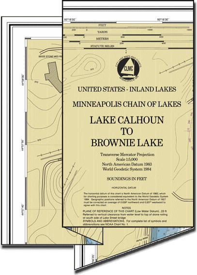
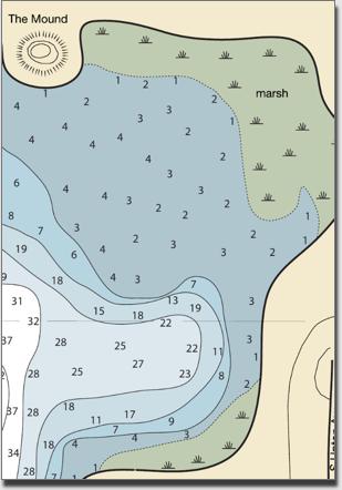
Minneapolis Chain of Lakes Nautical Chart (Lake Calhoun to Brownie Lake) printed on water resistent paper at 1:5,000 scale.
This version is made to get out and get used. Take it fishing, kayaking, sailing, or canoeing. Use it as a guide as you walk around the lakes to help plan your route or find amenities and facilities.
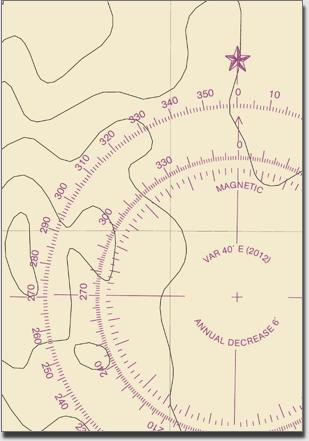
It is modeled after an official NOAA navigational chart, so you can use the scale and compass rose (along with a parallel rule and set of dividers) to practice your navigational skills.
The chart is shipped folded, just under 5 x 9 inches. Fully open size is 19 x 35 inches.
$14.00
Features:
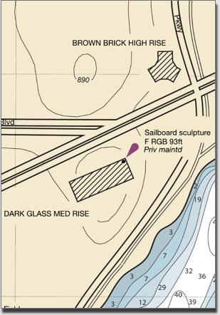
Landmarks
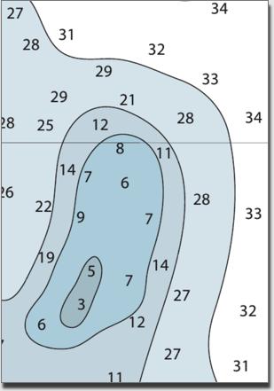
Soundings
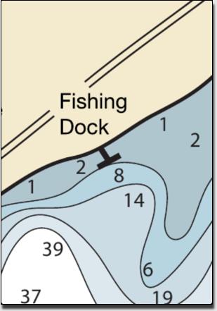
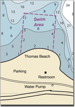
Shore Services
Compass Rose
Natural Features
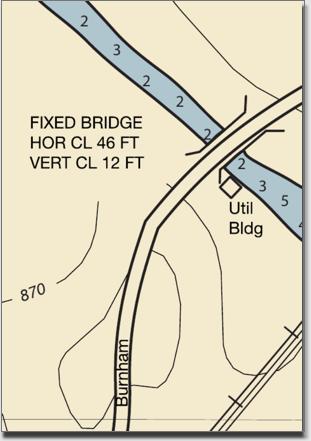
Bridges/Channels
Copyright © 2012 - City Lake Maps and Charts
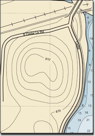
Terrestrial Contours
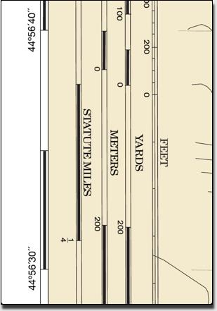
Scale
Amenities
