Art Print
 |
||
Copyright © 2012 - City Lake Maps and Charts

Suitable for framing!
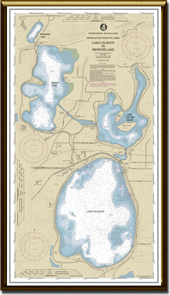
Minneapolis Chain of Lakes Nautical Chart (Lake Calhoun to Brownie Lake) printed on archival paper at 1:5,000 scale.
This chart is 20 x 35 inches and makes a handsome display in any home or office. It is perfect for hanging in locations around the lakes as an artful testament to the timeless beauty of the surrounding parks
The production quality, style, and size is modeled after official NOAA navigational charts, which augments the look of authenticity and precision.
The chart is shipped rolled for ease of mounting and prevention of creasing.
$40.00
Features:
Landmarks
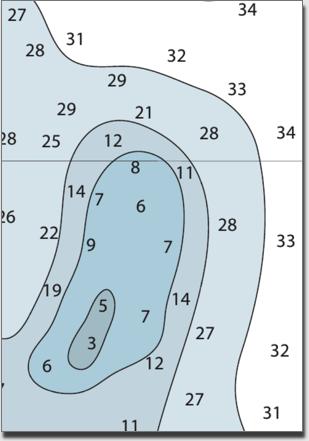
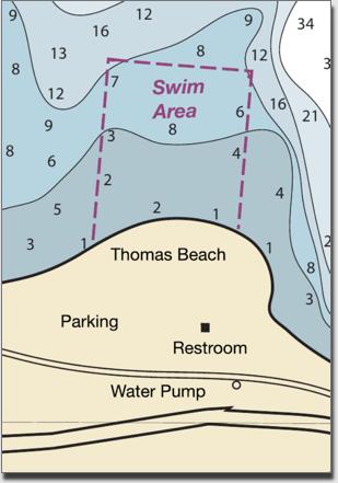
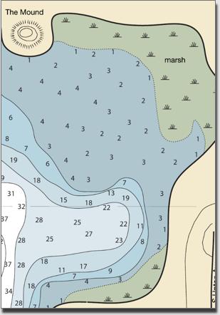
Soundings
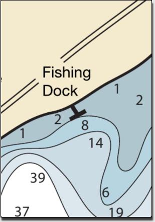
Shore Services
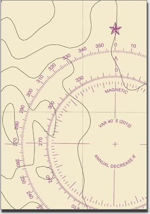
Compass Rose
Natural Features
Bridges/Channels
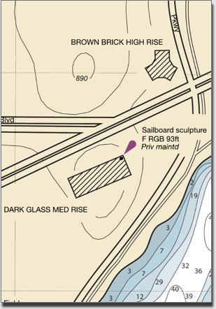

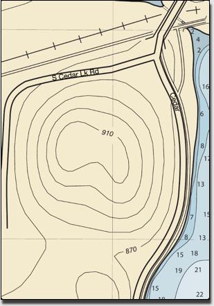
Terrestrial Contours
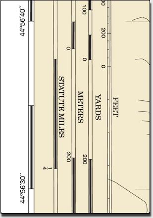
Scale
Amenities
