Electronic Chart for iPhone/iPad
and Android devices
 |
||
Electronic Chart for iPhone/iPad
and Android devices

You are here!
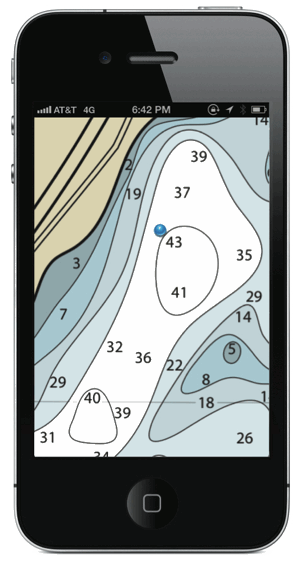
That little blue dot will show you where you are, whether along the shore or out on the water, thanks to the geolocation functionality of your iPhone, GPS enabled iPad, or Android device.
You will need to add the *free* PDF Maps app by Avenza Systems onto your device before loading our product. Compatible with iOS 4/Android 4 and later.
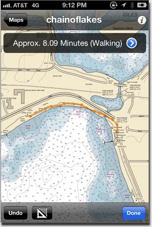
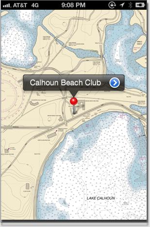
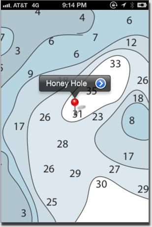
Once you have the electronic chart loaded, you can follow your progress around the lakes, measure distances and walking times, find points of interest, plot photos, and import your own KML files to add waypoints or other details.
Free updates of the chart are included. Please supply us with your email address in the contacts page so we can inform you of any updates.
$4.99
Copyright � 2012 - City Lake Maps and Charts
Features:
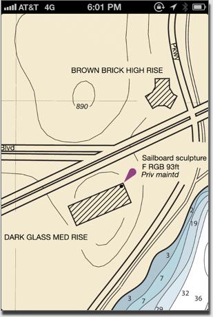
Landmarks
Hazards
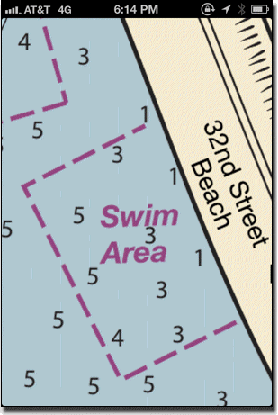
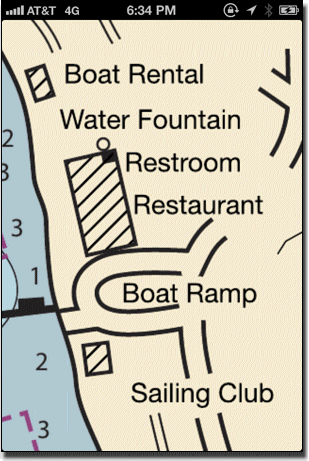
Shore Services
GPS Coordinates
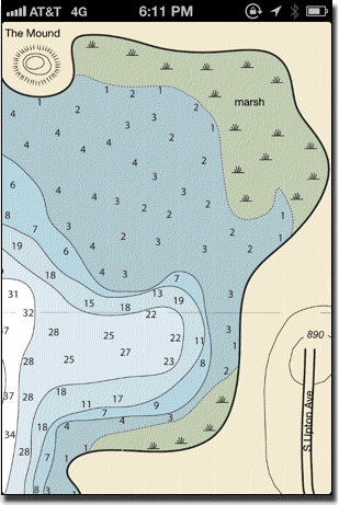
Natural Features
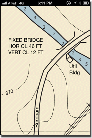
Bridges/Channels
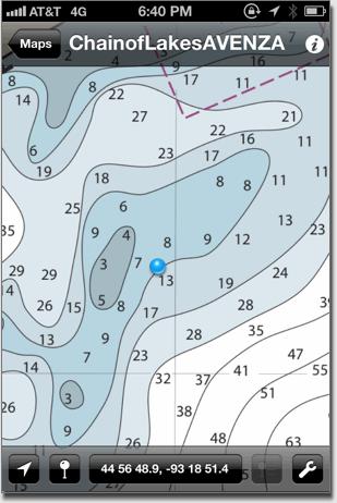
Search Function
Distance/Time calculation
User Placemarks
Bde Mka Ska to Brownie Lake only